Autonomous satellites. Earth, fully observed.
Aphelion designs, builds and operates self-maneuvering small-satellite constellations — turning low Earth orbit into always-on infrastructure for observation, communications and real-time planetary data.
Mission control, in orbit.
Every Aphelion satellite runs a common autonomous stack — proprietary flight software, onboard edge compute, and a laser inter-satellite mesh — so the constellation operates as one instrument, not a thousand isolated spacecraft.
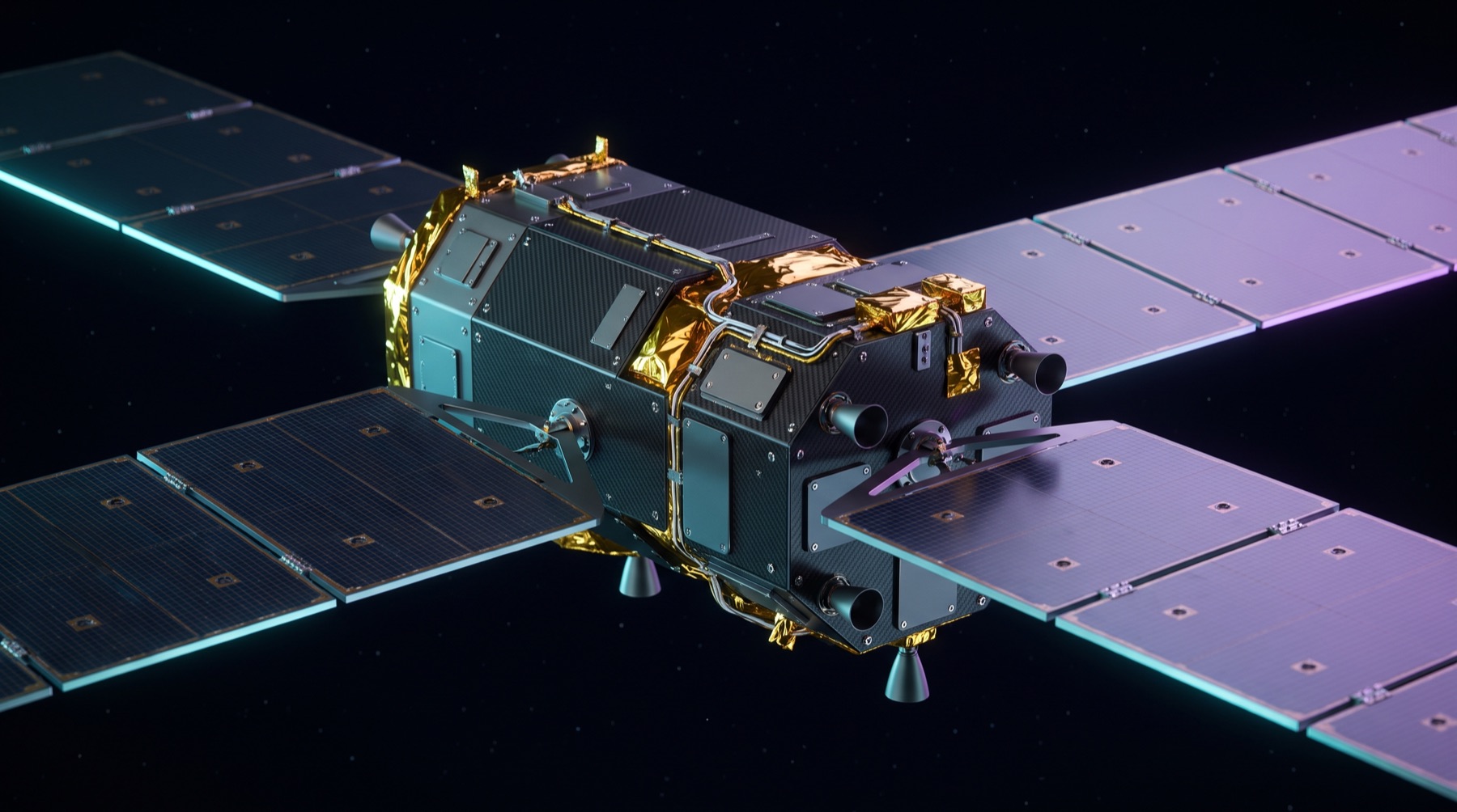
Earth Observation Payload
Multispectral optical sensors resolve down to sub-metre ground sample distance, with onboard tasking for wildfire, flood and vessel detection before the pass even completes.
Laser Comms Relay
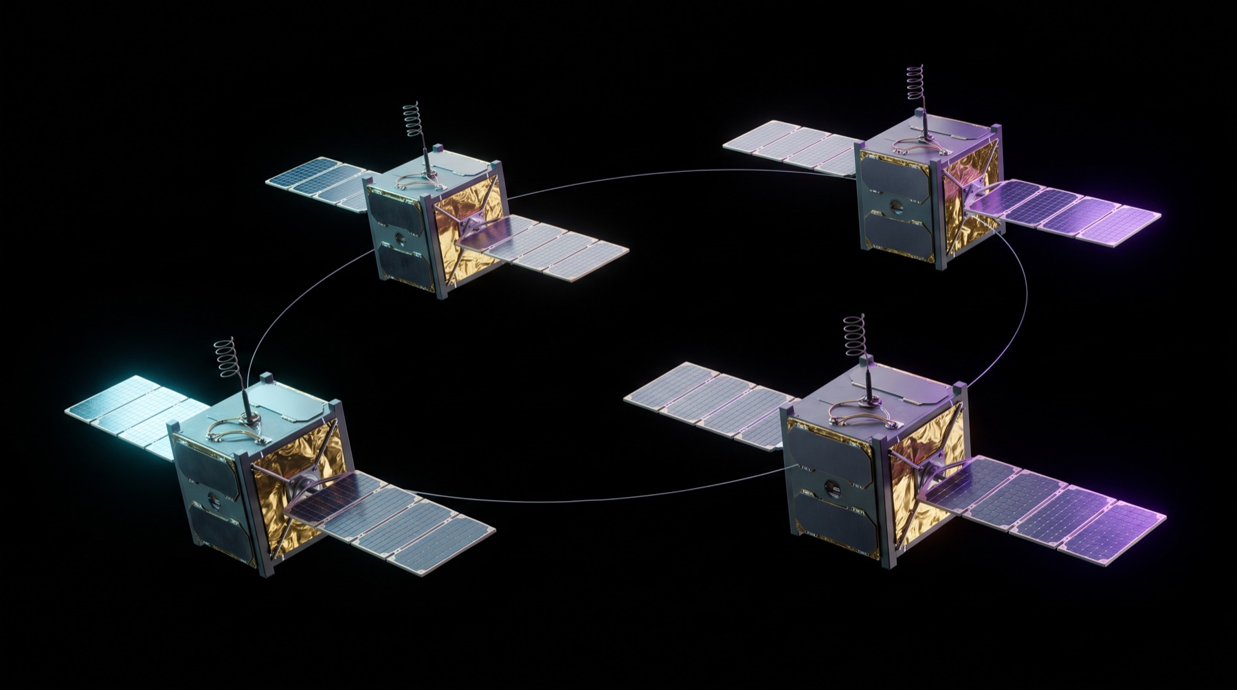
Inter-satellite optical links form a mesh backbone across the constellation, cutting ground-station dependency and downlink latency to minutes, not orbits.
Autonomous GNC
Closed-loop guidance, navigation and control keeps every bus in formation, executes collision-avoidance manoeuvres and deorbits at end-of-life without ground intervention.
Onboard Edge Compute
Radiation-tolerant inference hardware processes raw sensor data in orbit, downlinking finished insight instead of raw imagery to save bandwidth and time-to-alert.
Built for the missions that matter.
One constellation, four mission profiles. Operators task the same orbital layer for observation, connectivity, and awareness — no separate hardware programs required.
 FEED 01 · EO-4
37.77N 122.41W
FEED 01 · EO-4
37.77N 122.41W
See change as it happens, not after.
Daily revisit imagery tracks deforestation, ice-sheet retreat and crop stress at a resolution and cadence built for scientific rigor, not postcards.
- Sub-metre multispectral imaging
- Automated change detection
- Climate & agriculture data feeds
 FEED 02 · MESH
ALT 550KM
FEED 02 · MESH
ALT 550KM
Connectivity with no dead zones.
The laser mesh backbone routes traffic satellite-to-satellite, bringing low-latency links to ships, aircraft and ground assets far outside terrestrial network range.
- Inter-satellite optical mesh
- Sub-50ms relay hops
- Maritime & aviation terminals
 FEED 03 · GS-02
64.13N 21.90W
FEED 03 · GS-02
64.13N 21.90W
Persistent custody of what matters.
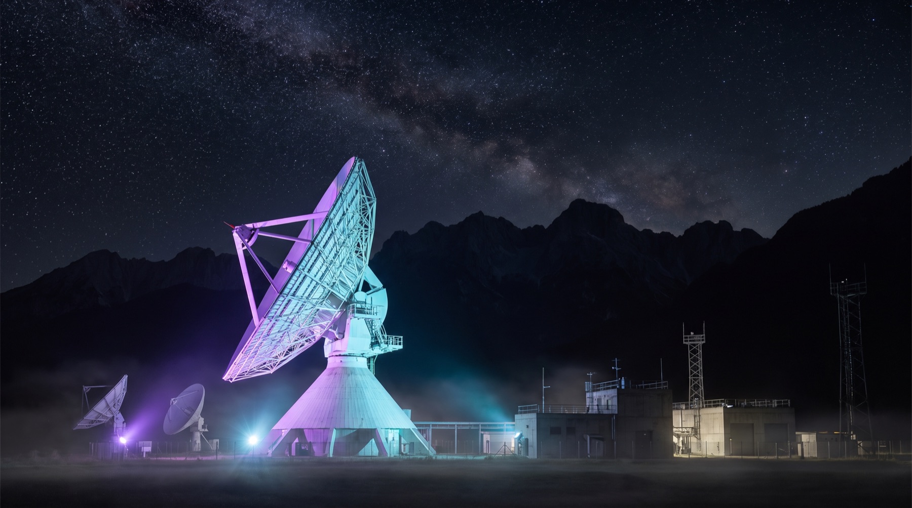
Wide-area radar and optical tip-and-cue tasking gives maritime and defense operators continuous domain awareness across contested and remote waters.
- AIS & dark-vessel detection
- Tip-and-cue tasking chains
- Sovereign ground segment options
 FEED 04 · RAPID
T+00:04:12
FEED 04 · RAPID
T+00:04:12
First imagery, within the hour.
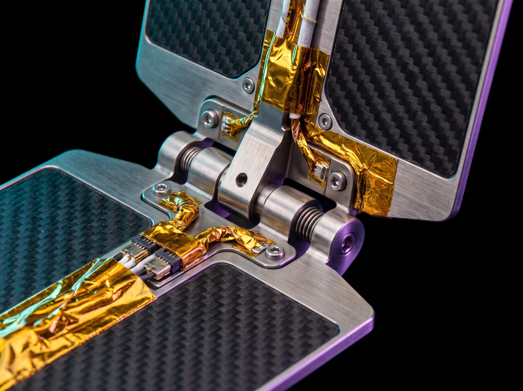
Emergency tasking reprioritizes the constellation in flight — wildfire perimeters, flood extents and quake damage assessed and downlinked before ground teams arrive.
- Priority emergency tasking
- Sub-hour imagery turnaround
- Direct feed to response agencies
Small team. Full-stack aerospace.
Aphelion was founded by engineers from the launch, remote-sensing and defense-communications industries who believed orbital infrastructure should be built like software — iterated, observed, and shipped fast.
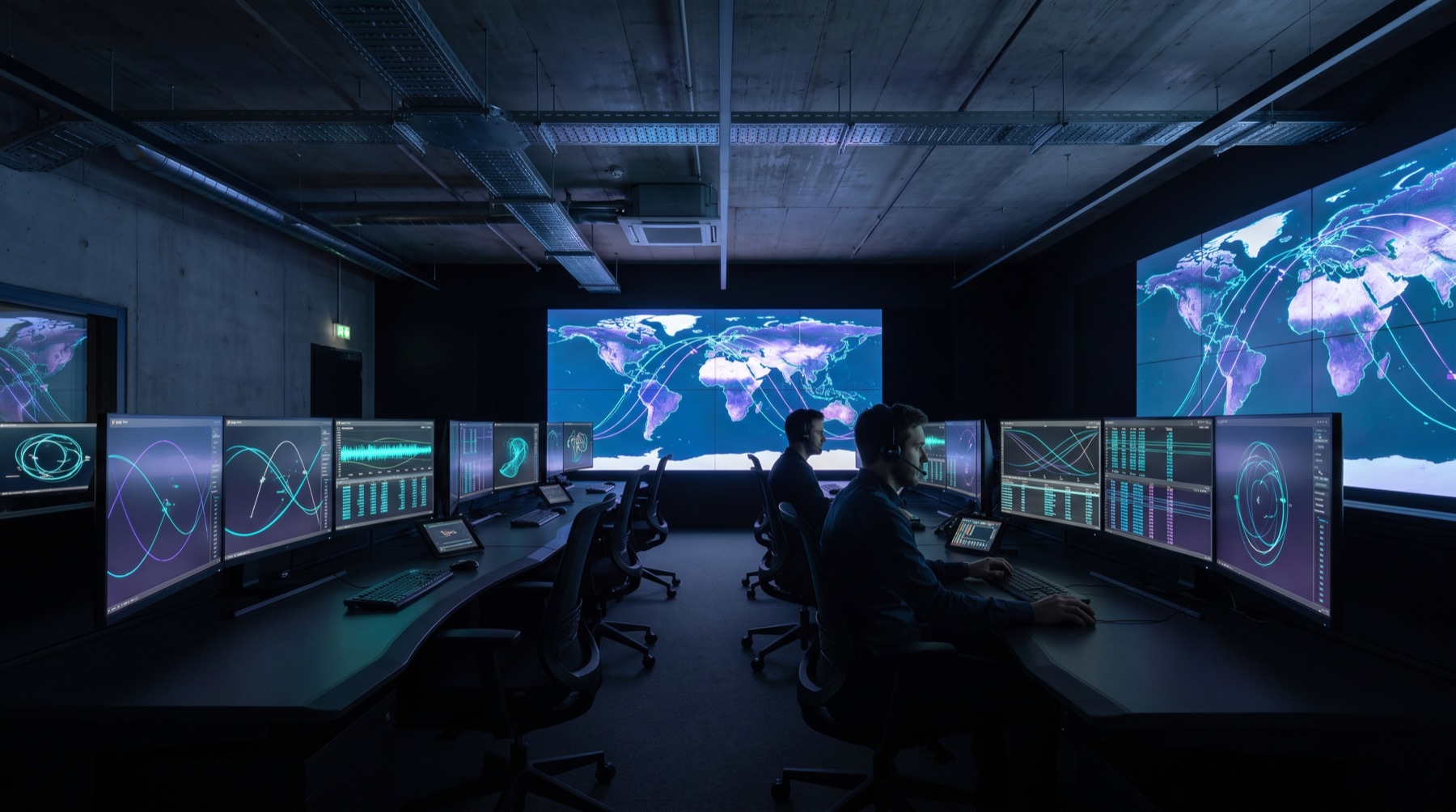
We design, integrate and test every satellite bus in-house, control the full software stack from flight computer to ground segment, and operate our own downlink network — so the constellation improves every week, not every hardware generation.
That vertical control is why operators, agencies and researchers building on Aphelion get data products measured in minutes, and a platform that keeps getting more capable under them without a hardware refresh.
Let's build your constellation.
Whether you're tasking imagery, integrating a payload, or evaluating Aphelion for an investment round — the team responds to every mission brief within one business day.
Now raising Series B — request the data room.
CONFIDENTIAL · QUALIFIED INVESTORS ONLY